Exploitation of satellite data
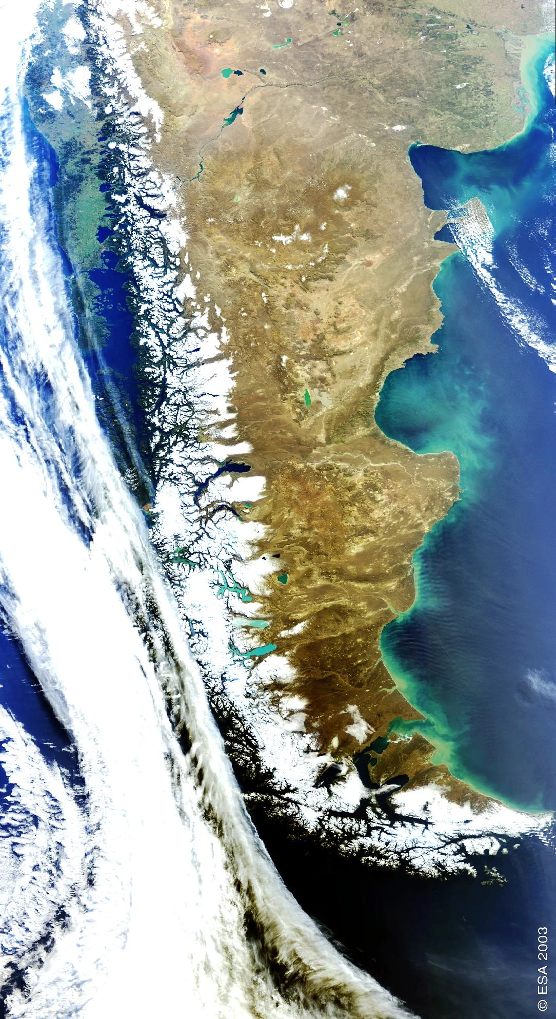
For more than 20 years, HYGEOS exploits Earth observation missions data thanks to an advanced expertise in scientific engineering. We work on transforming data collected by satellite and in-situ sensors into qualified and accurate bio-geophysical information for a broad range of applications. HYGEOS uses cutting-edge processing technologies, such as machine learning, and computing infrastructures to process and analyse high volume of remote sensing images.
HYGEOS values the current Earth Observation missions and offers services to:
- Qualify calibration of sensors before and after launch
- Develop ground segment algorithms and software, in particular for atmospheric correction over land or water
- Design new geophysical products
- Perform multi-scale and multi-source thematic analysis for monitoring the water and air quality, the soil and vegetation health and dynamics.
- Support users in the exploitation of space missions
In practical terms, this involvement is reflected, in particular, by the fact that Polymer and SMAC-CL are key bricks of some operational processing chains running at the Copernicus Land, Marine and Climate Change services.
Other recent example
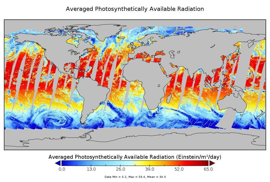
Photosynthetically Available Radiation (PAR) controls the growth of aquatic plants and, therefore, regulates the composition of marine ecosystems. Solar radiation in the [400nm – 700nm] spectral range heats the upper ocean considerably, affecting mixed-layer dynamics and oceanic circulation. HYGEOS has developed an algorithm retrieving the daily PAR from the Sentinel-3/OLCI data. The algorithm is generic enough to be easily adaptable to other sensors, in particular those on geostationary orbits, and works for cloudy and clear-sky conditions. It is also optimized for computing PAR in sun glint contaminated areas, complex waters, and for high solar zenith angles, taking into account the diurnal variation of the cloudiness.
HYGEOS has delivered the Python and C++ module prototype to be implemented in the EUMETSAT Integrated Processing Facility of the ground segment for generating the Ocean Colour Level 2 baseline products. The image below is an example of daily average PAR derived from Sentinel-3 OLCI data acquired on 25th August 2023.


