Copernicus Evolution – Research for harmonized and Transitional water Observations (CERTO)
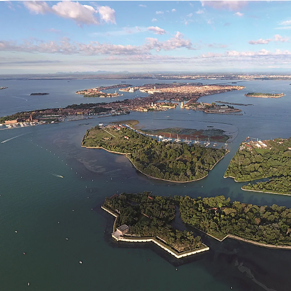
The CERTO project aimed at developing water quality products for transitional waters, with focus on the harmonization across Copernicus services (Copernicus Marine, Copernicus Climate Change, and Copernicus Land). Six case study areas were fully characterised and validated. These six areas are spread all across Europe, ranging from the large watersheds of the Elbe, Curonian and Tagus to the smaller catchments of the Tamar, Venice and Razelm-Sinoe. They provide contrasting transitional environments to ensure a full range of Optical Water Types and associated algorithms.
HYGEOS Activities
HYGEOS was responsible of the evaluation and validation of the atmospheric correction algorithms in the CERTO case study sites, and of the Research and Development activities to improve atmospheric correction in transitional waters, with particular focus on adjacency and bathymetry effects (bottom visibility).
The water reflectance model used in Polymer was updated by including a mode with increasing mineral particles, thus allowing to better reproduce the spectra of waters with high concentration of sediments of the CERTO case study sites. Other modifications have been implemented in Polymer along with the evolution of the water reflectance model: the initialization step for each pixel was revisited and SWIR bands were included, allowing to improve the algorithm stability over turbid and complex waters.
Furthermore, a method for mitigating the impact of the adjacency from vegetated surfaces on Polymer was developed and evaluated. Analysis has shown that the most impact on the retrieved water reflectance is in the spectral bands near the vegetation red edge (680 nm to 750 nm). A generic method for assessing bathymetry effects based on time series of Sentinel–2 MSI images, has been developed. The first parameter derived is a per–pixel indicator of the presence of bathymetry effects, which can be used as a quality index; this parameter increases with the likelihood of impact from the seabed visibility, which impacts the estimation of the water optical properties from atmospheric correction algorithms. The other provided parameters are the bathymetry and the seabed albedo.
All these developments have been included in the public v4.15 release of the Polymer algorithm.


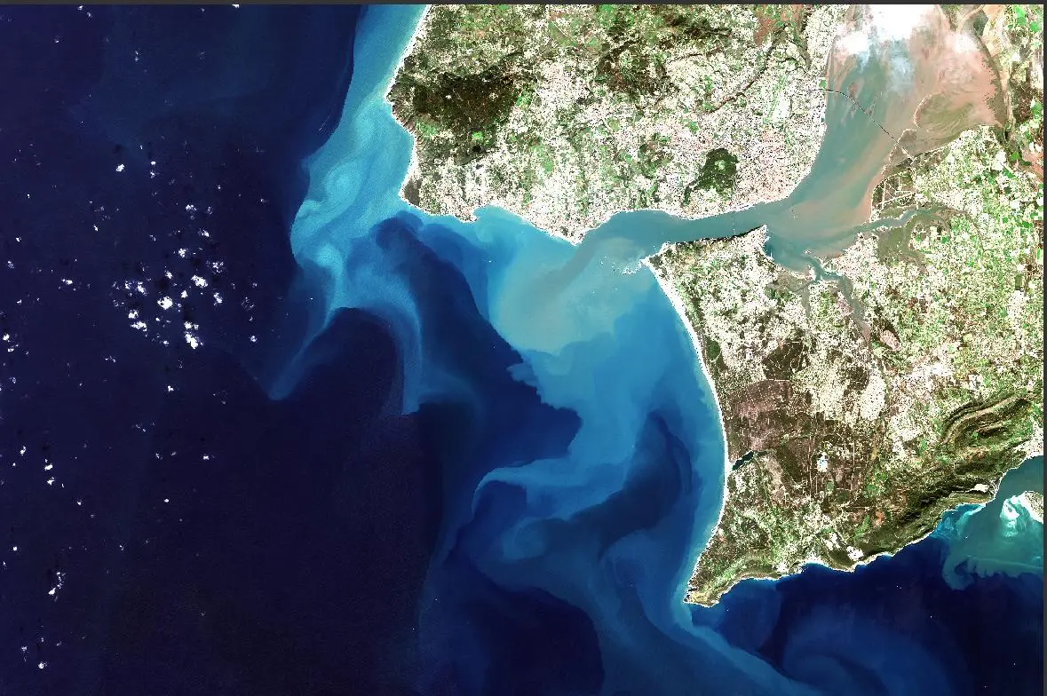
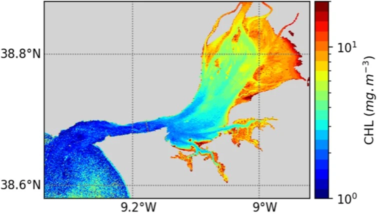
Satellite image (left) and climatological average (2017-2020) of chlorophyll-a concentration during the productive period (February until October) (right) – Tagus Estuary, Portugal.
Funder : European Union’s Horizon 2020 research and innovation programme
Duration : 2019 – 2021
Contact at HYGEOS : François Steinmetz

