Sargassum monitoring from geostationary imagery
An operational method
Since 2020, HYGEOS has been developing a new software for processing GOES-16/ABI data at 1km of spatial resolution. The main advantage of this geostationary satellite is its capability to acquire one image every 10 minutes over a visibility circle centered on the 75° West meridian, thus covering the Atlantic Ocean from the Gulf of Mexico to the offshore of Western Africa. Consequently, the daily spatial coverage is improved by a factor 2 to 3, due to the daily movement of clouds, compared to one single acquisition. The sargassum index defined by HYGEOS is the Floating Algae Index (FAI) anomaly, which is the difference between the pixel FAI and a background FAI value of sargassum-free pixel. A detection of sargassum based on a threshold on the FAI anomaly is possible with pixel coverage of sargassum as low as 1.3%. The HYGEOS software is integrated in SAMTool, the operational Sargassum detection system operated by CLS.
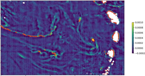
Daily composite of FAI anomaly derived from GOES-16/ABI image acquired at West of Martinique, and Sainte Lucia on 17th June 2022. Red lines delineate the detected sargassum.
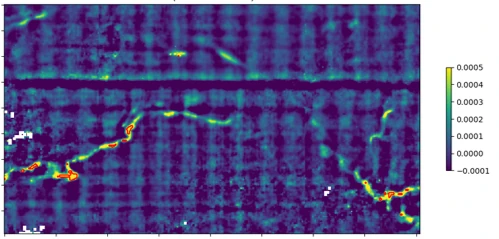
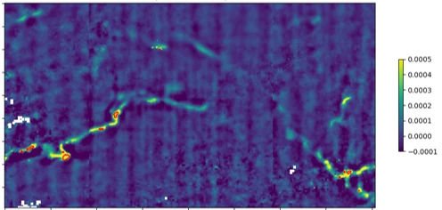
Daily composite of FAI anomaly derived from GOES-16/ABI image acquired on 19th March 2022, without (left) and with (right) radiometric grid correction.

