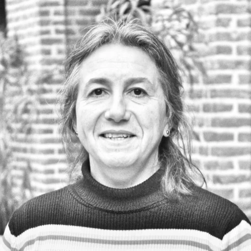
Roselyne Lacaze
PhD Physics, Project Management, Studies
Her expertise relates to land surface remote sensing, specialized in the retrieval methodologies of continental biophere variables from multi-angular Earth Observation data.
From mid-2000’s, she was involved in the project FP7/geoland, which was the precursor R&D project of the Copernicus Land Monitoring Service, as coordinator of the global component. In the 2010’s, she coordinated the FP7/ImagineS project which performed R&D activities in support of the operations of the Copernicus Global Land Service. From 2013, she is the science manager of the consortium in charge of the production of “Vegetation and Energy” products of the Copernicus Global Land Service.
- Since 2005 : Project manager at HYGEOS. Head of land monitoring activities
- 2002 – 2005 : Research engineer at MEDIAS-France
- 1999 – 2002 : Post doctoral fellow at Centre National de Recherches Météorologiques (CNRM/Météo-France), funded by CNES
- 1999 : PhD, retrieval of land surface parameters useful for climate studies from multi-angular optical remote sensing observations (Université Toulouse 3, CNRM/Météo-France)

